
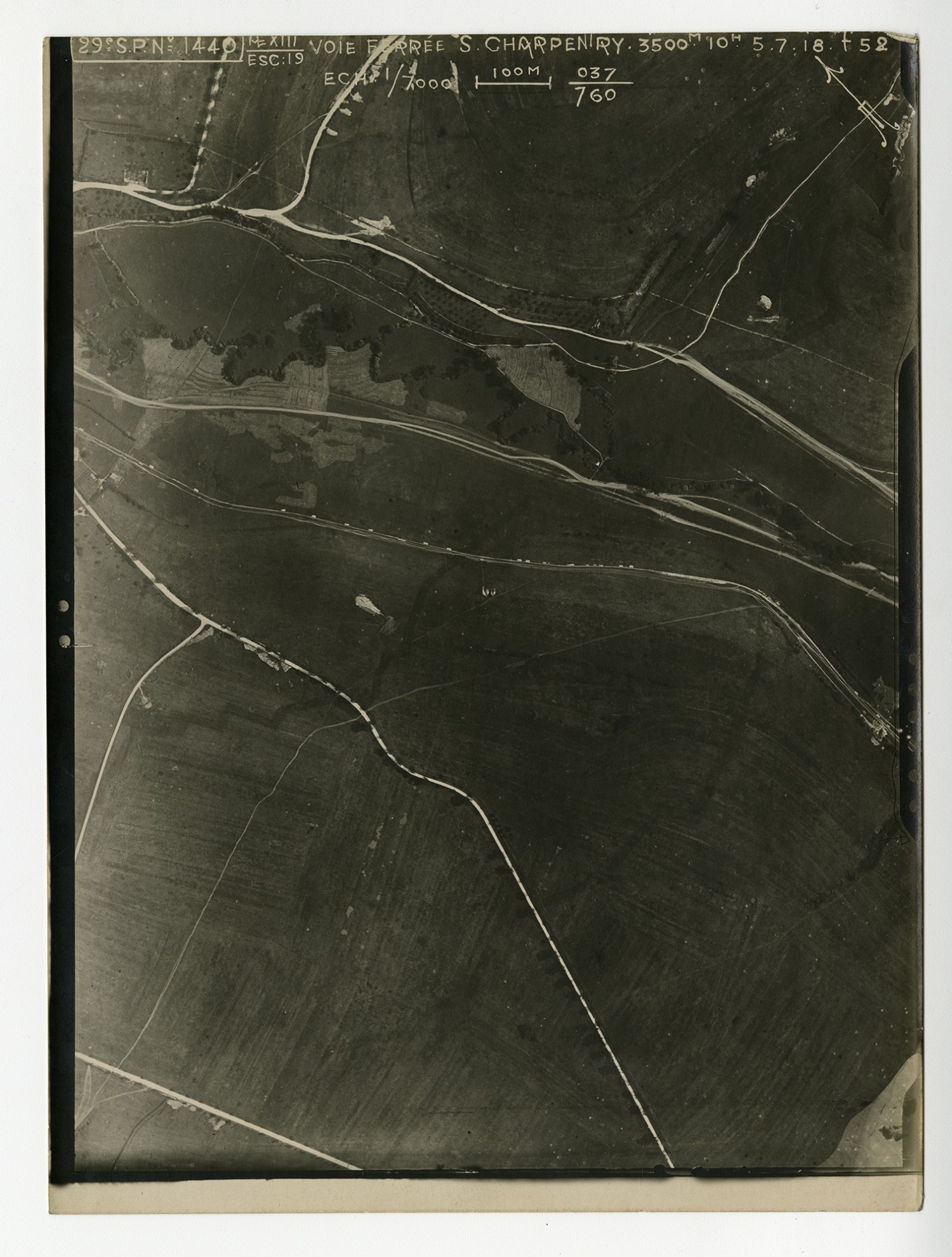
Aerial Maps of France - n.d.
Transcript
[Aerial Map] Voie Forree S. Charpenry
Transcript
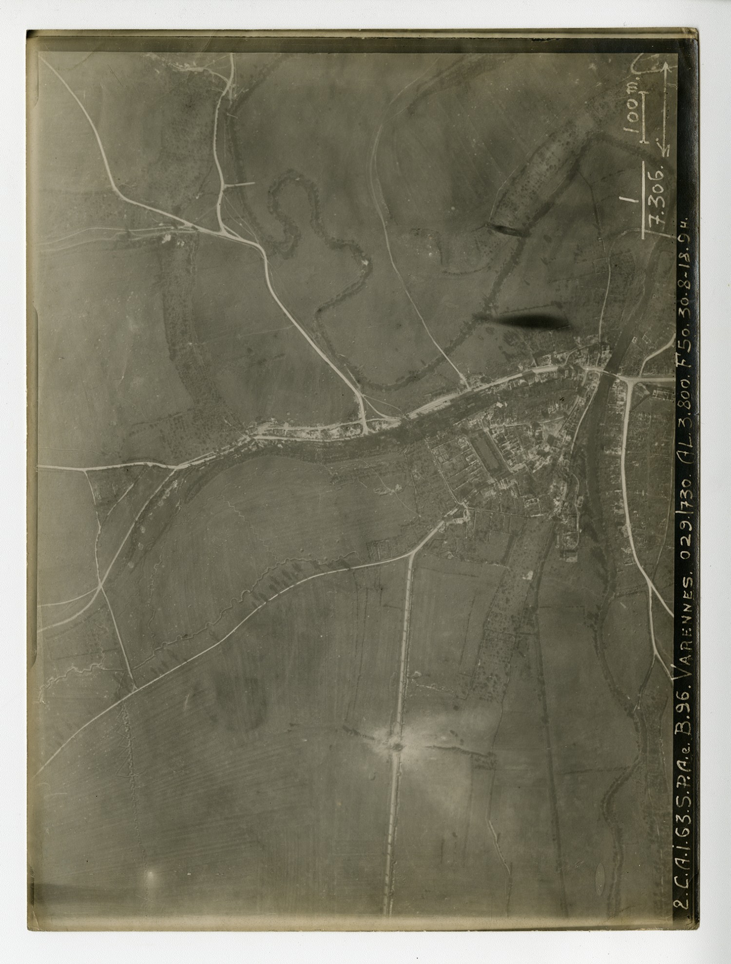
[Aerial Map] Varennes
Transcript
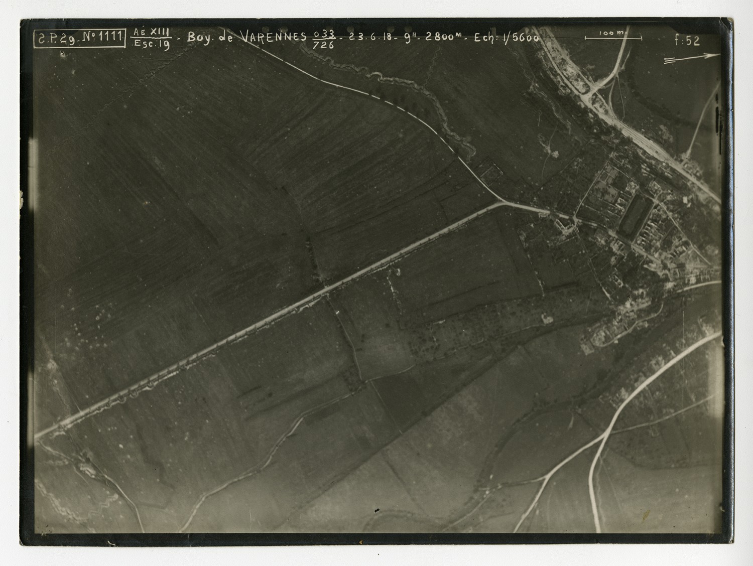
[Aerial Map] Boy de Varenees
Transcript
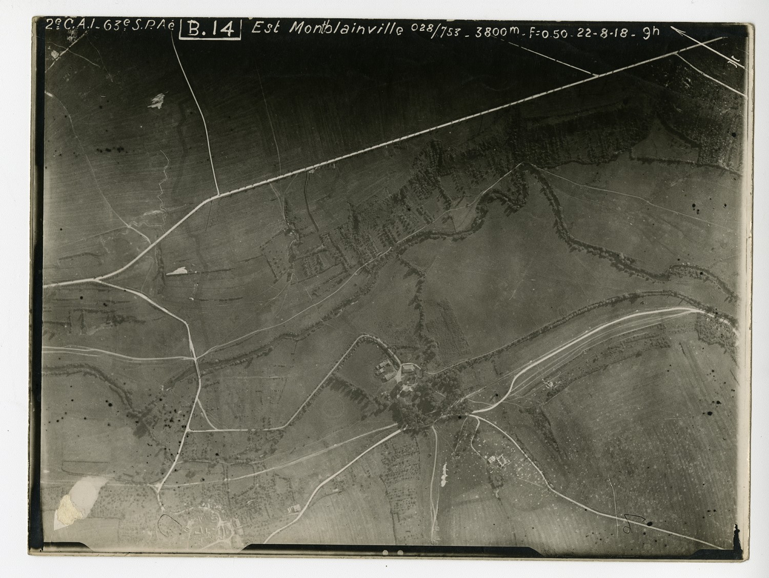
[Aerial Map] Est Montblainville
Transcript
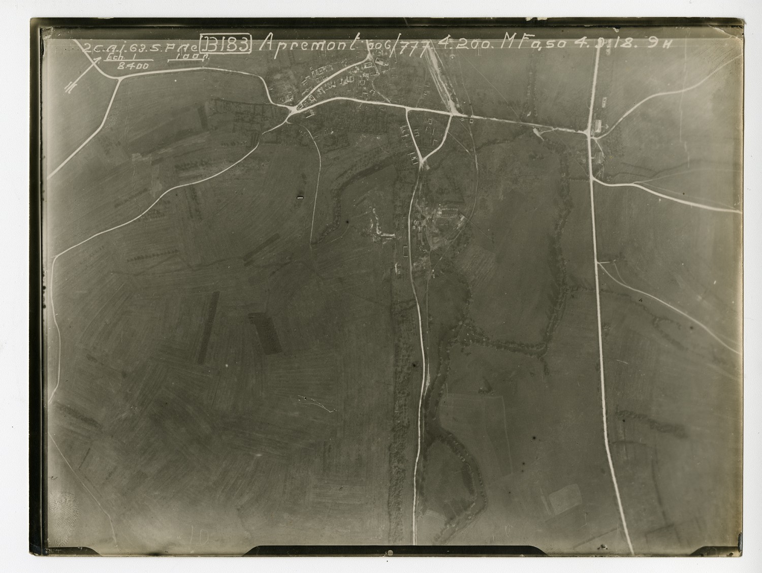
[Aerial Map] Apremont
Transcript
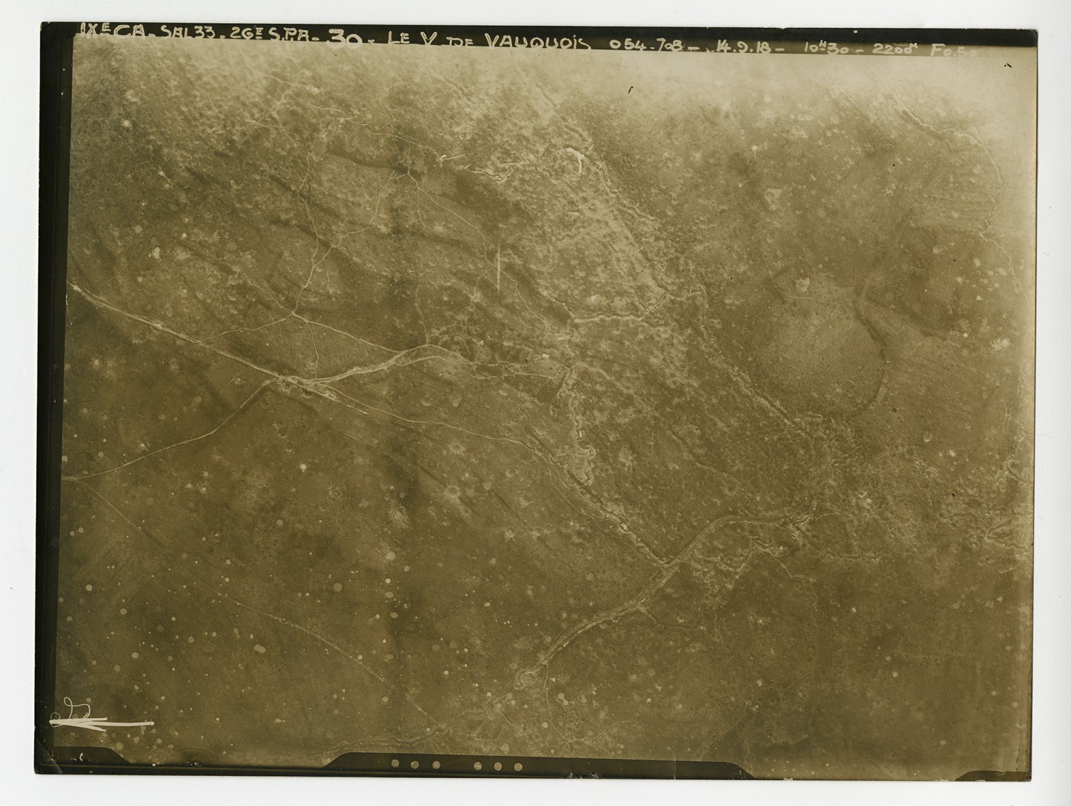
[Aerial Map] Le V De Vauquois
Transcript
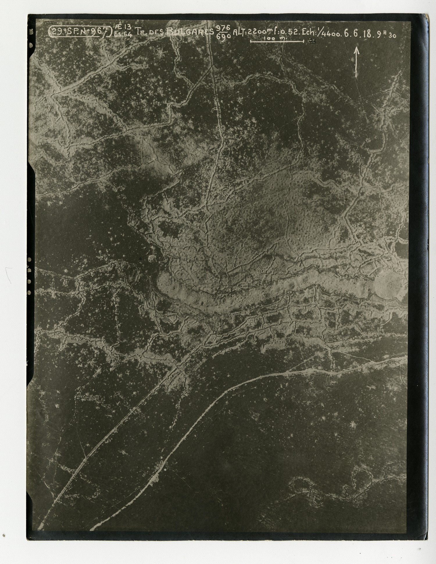
[Aerial Map] Tr Des Bulgares
Transcript
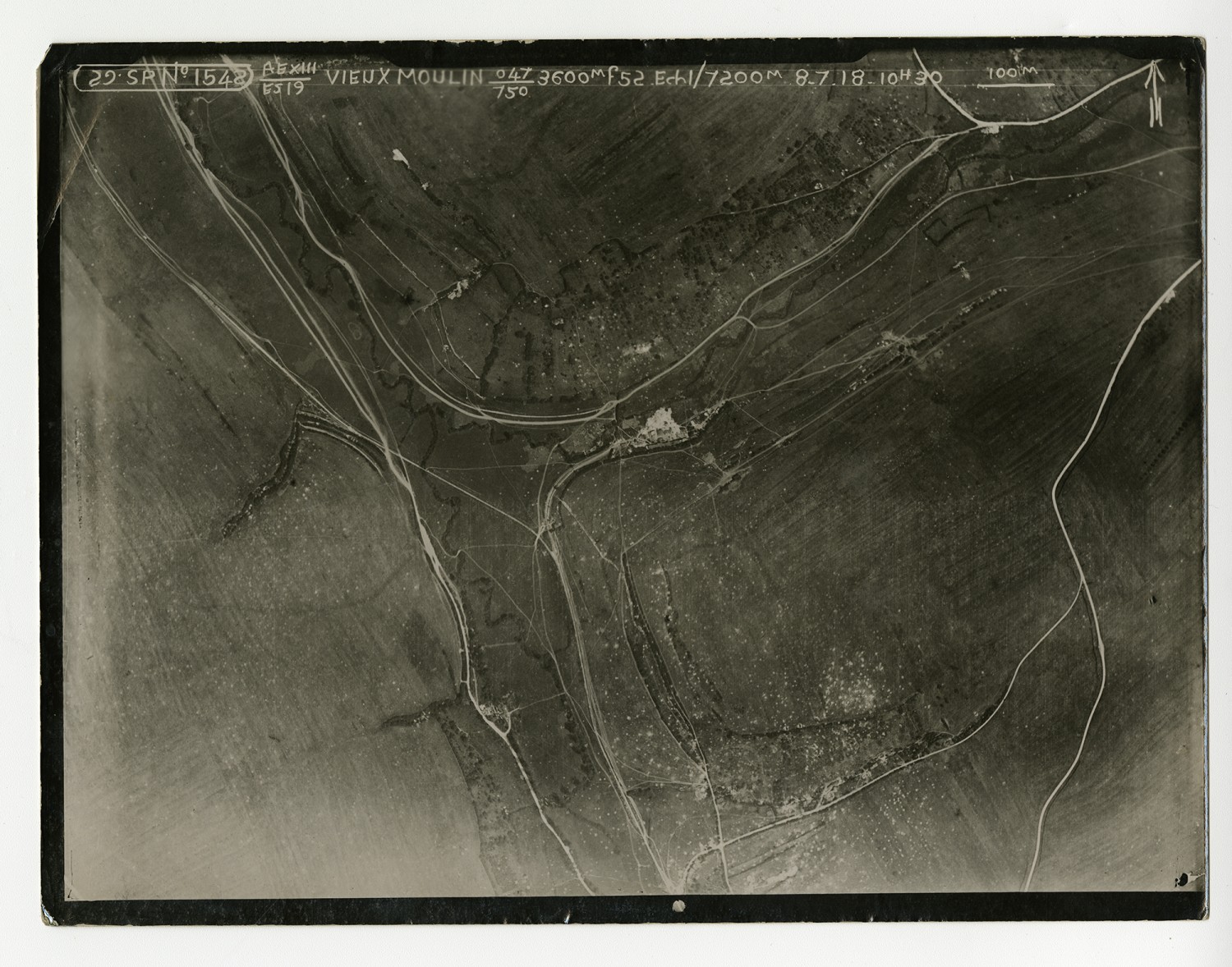
[Aerial Map]Moulin
Transcript
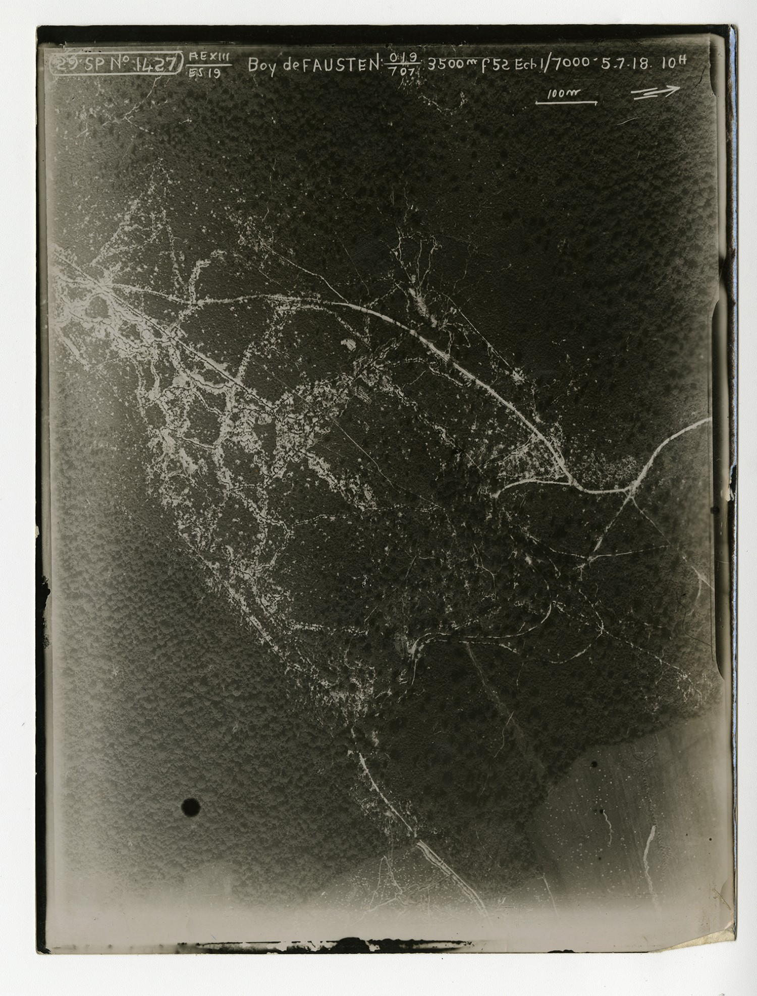
[Aerial Map] Boy de Fausten
Transcript
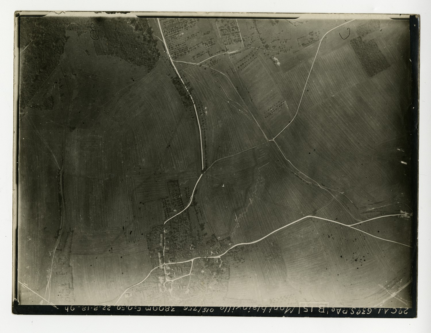
[Aerial Map] Montblainville
Transcript
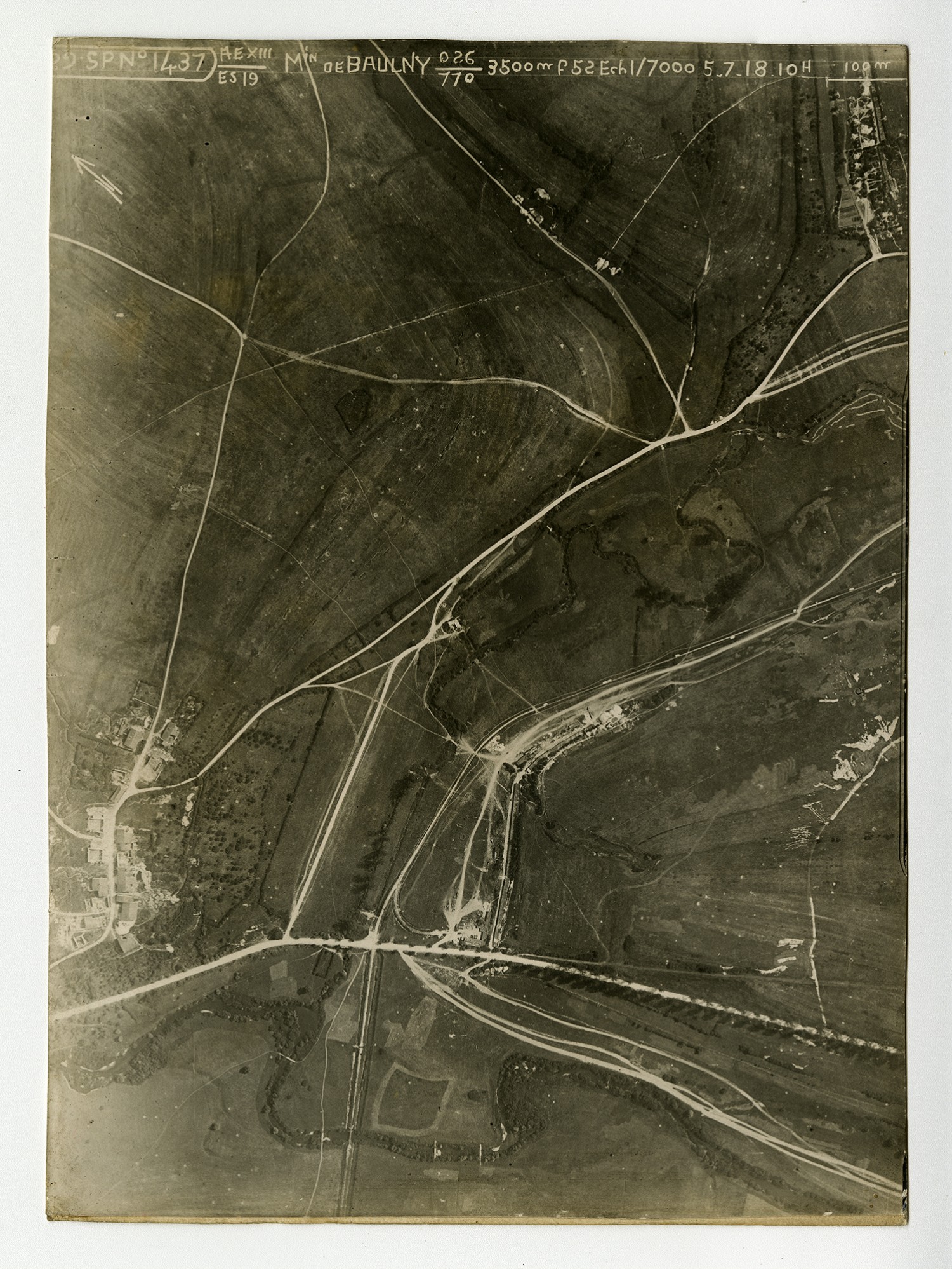
[Aerial Map] De Baulny
Transcript
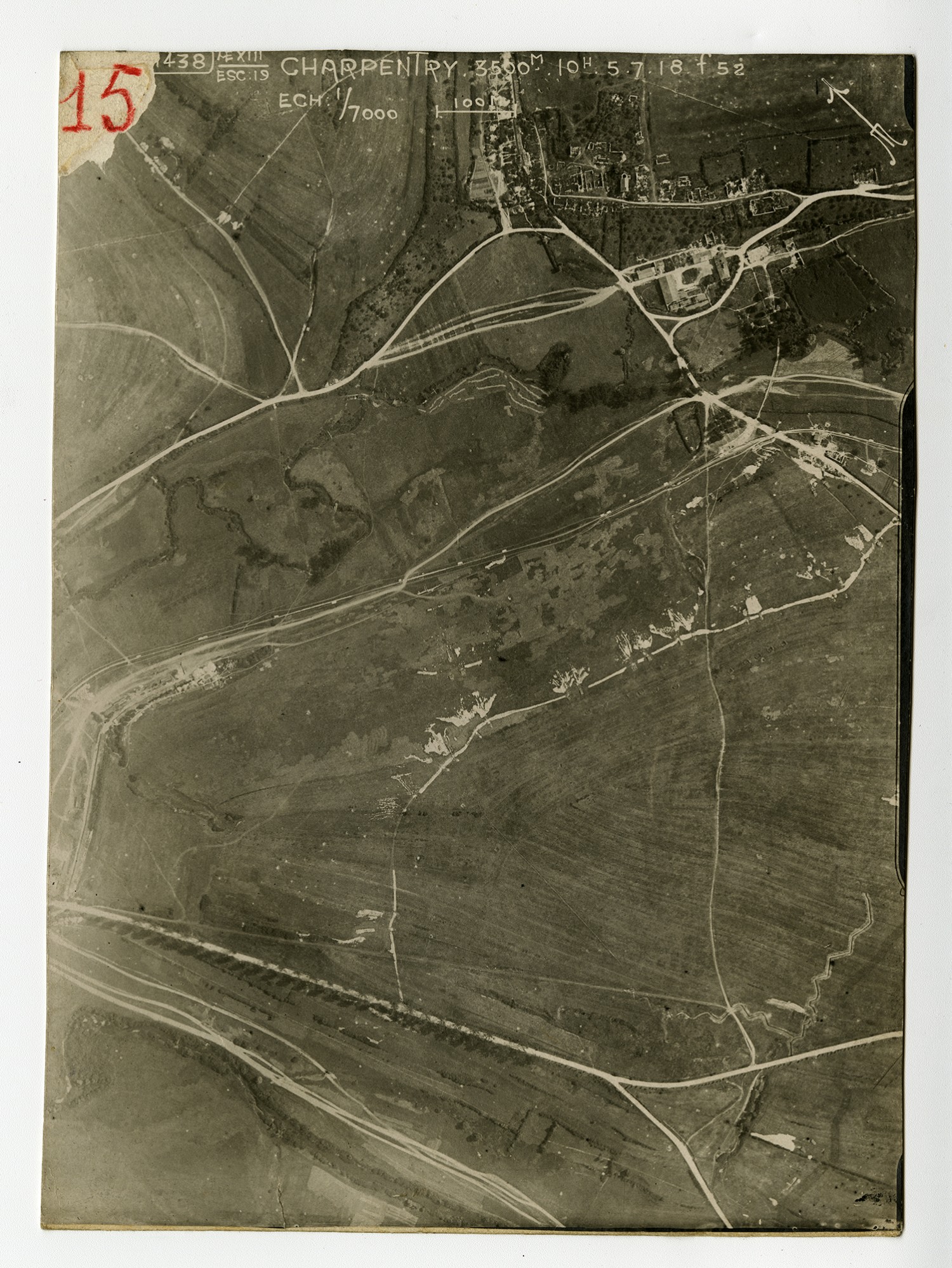
[Aerial Map] Charpentry
Transcript
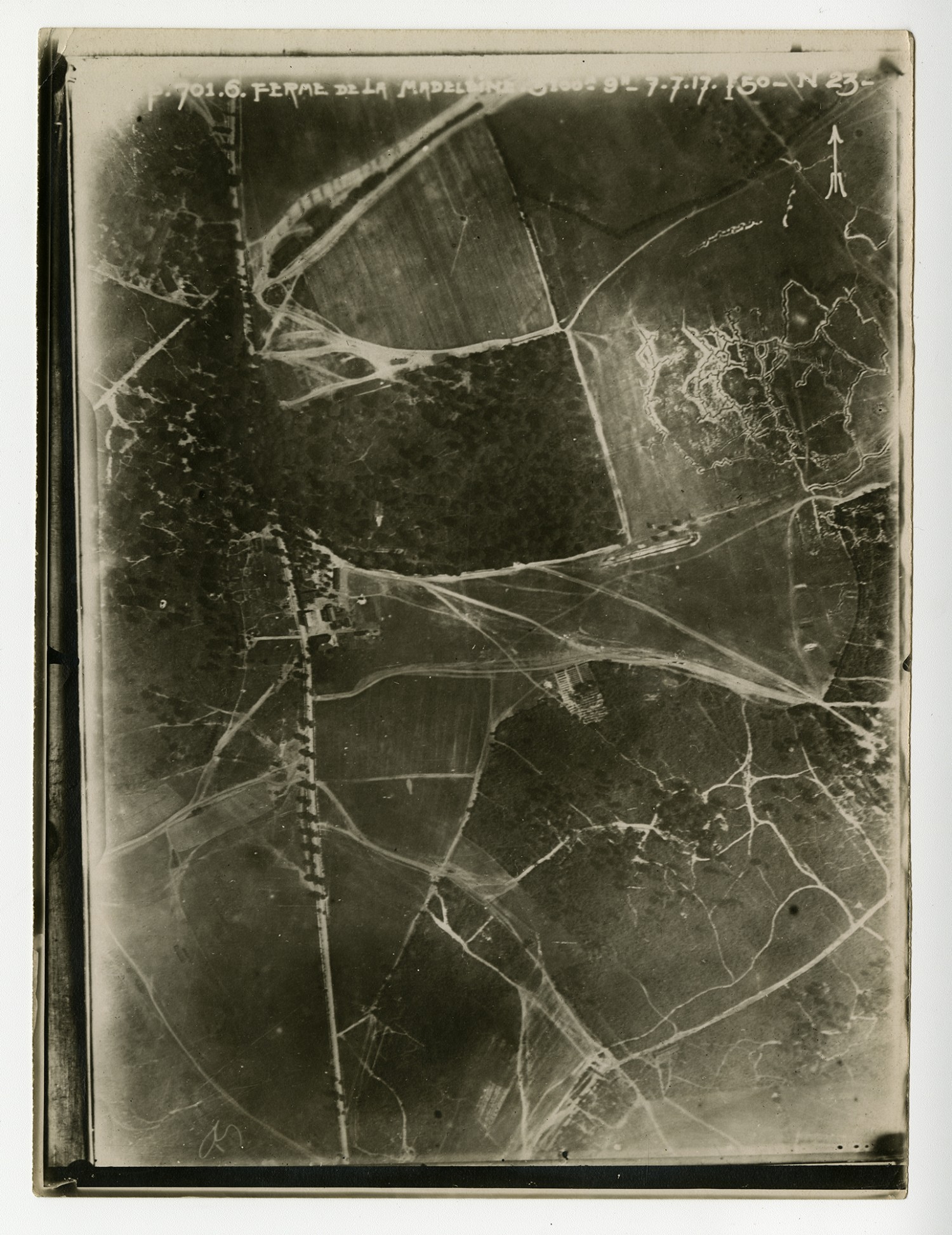
[Aerial Map]
Details
| Title | Aerial Maps of France - n.d. |
| Creator | Unknown |
| Source | Unknown. Aerial Maps of France. n.d. World War I Collection. A1771. Missouri History Museum, St. Louis, Missouri. |
| Description | Several aerial maps of the French countryside. |
| Subject LCSH | World War, 1914-1918--Maps; Aerial photography |
| Subject Local | World War I; WWI |
| Site Accession Number | A1771 |
| Contributing Institution | Missouri History Museum |
| Copy Request | Transmission or reproduction of items on these pages beyond those allowed by fair use requires the written permission of the Missouri History Museum: 314-746-4510 |
| Rights | The text and images contained in this collection are intended for research and educational use only. Duplication of any of these images for commercial use without express written consent is expressly prohibited. Contact the Missouri History Museum's Permissions Office at 314-746-4511 to obtain written consent. |
| Date Original | n.d. |
| Language | English |